 Vancouver Trip Guide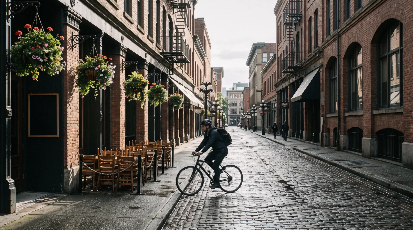
Vancouver Neighbourhoods
Search engines split this question between Vancouver neighborhoods and Vancouver neighbourhoods, and the City itself uses the Canadian spelling for the 22 areas it divides the city into. Six of those areas have a page of their own on this site and five more are worth a morning without one. The useful shape is not an A to Z list: it is five geographies, and the one that decides most trips is the fact that the whole tourist core sits on a peninsula about 4 km long, with everything else reached over a bridge, under a bridge or across the water. This page compares eleven districts on what each is actually for, how far it is from a downtown hotel, what it feels like to spend money in, and the catch. Where you sleep is a separate question with a separate answer on where to stay in Vancouver, the sights themselves are on things to do, and the trip as a whole starts on this unofficial Vancouver guide.
Quick answer The five geographies, and which district to spend a morning in
Vancouver has 22 official areas and about six that a visitor with three days will actually walk. Start with Gastown and Chinatown at the east end of downtown, both National Historic Sites of Canada, then cross to Granville Island or Kitsilano on the west side, and take the 12-minute SeaBus to the North Shore for the mountains. Everything on the downtown peninsula is walkable end to end inside an hour.
Key takeaways
- The one district that repays a whole morning on foot is Gastown: Parks Canada counts 141 buildings inside the National Historic Site, put up mostly between 1886 and 1914, and only six built since.
- The cheapest and best short boat trip in the city is the SeaBus to Lonsdale Quay, 12 minutes on an ordinary transit fare, and at weekends the whole system charges a 1-zone fare so the return is $2.54 (CA$3.50) each way with a tapped card. The transit section has the rest.
- The east end of Gastown runs into the Downtown Eastside at Carrall Street. That is a map fact, not a warning, and it is why the walk changes character in two blocks. The safety page has the police statistics rather than the rumours.
- Four of the districts on this page have no citable official fact attached to them at all, which is a finding rather than an omission. What is documented and what is not says which four, and why every other guide writes about them anyway.
- If you would rather have the districts narrated than walked, the small-group hop-on hop-off circuit covers twelve stops across the peninsula and the Gastown food walk covers three hours of one of them.
Eleven Districts Compared: What Each Is For, And The Catch
Travel times are measured from the corner of Robson and Burrard, the middle of the downtown shopping streets, using TransLink's own published journey times where they exist and a 5 km/h walking pace where they do not. Price feel is our own read of what a coffee, a lunch and an hour cost in each district, not a published figure. The catch column is the thing the district's own promotional copy leaves out.
| District | What it is for | From the middle of downtown | Price feel | The catch |
|---|---|---|---|---|
| Gastown | Brick, the steam clock, the oldest commercial streets in the city | 12 minutes on foot, or one stop to Waterfront | Mid to high; restaurant prices, souvenir prices on Water Street | The busiest three blocks are the ones nearest the clock, and the district ends abruptly at Carrall Street |
| Chinatown | A National Historic Site designated in 2011, the Millennium Gate and a classical garden | 20 minutes on foot, or Stadium-Chinatown station | Low; the cheapest lunch of any district here | Many storefronts are empty and the City has a transformation plan running; go for the architecture and the garden, not for a shopping street |
| Yaletown | Loading docks turned into restaurant patios, and the shortest walk to the water | 10 minutes on foot, or Yaletown-Roundhouse on the Canada Line | High; this is where a dinner bill gets large | Nothing official is published about Yaletown at all, so every claim about it, including ours, is observation rather than record |
| The West End and Davie Village | Living streets, the historic gay village, and a beach at the bottom of most of them | 8 minutes on foot to Davie Street | Low to mid; the cheapest food on the peninsula | No SkyTrain station in the whole neighbourhood; it is buses and walking |
| Coal Harbour | The seawall, the float planes and the cruise terminal at Canada Place | 7 minutes on foot | High; almost entirely hotels and towers | Very little street life after the day trippers leave, and almost nothing to walk to except the water |
| Granville Island | A public market and arts district on a federal peninsula under a bridge | 20 minutes by bus, or a small ferry across False Creek | Mid; market prices, not tourist prices | Run by a federal housing agency rather than the City, which is why its rules read unlike anywhere else, and the market shuts Mondays in January |
| Kitsilano | The beach, the saltwater pool, and the walk along the water to Vanier Park | 20 to 25 minutes by bus 4 or 84 | Mid to high; a beach neighbourhood that knows it | No SkyTrain, and the last buses back across the bridges thin out late; nothing official is published about the district itself |
| Mount Pleasant and Main Street | Breweries, murals and the densest run of independent shops in the city | 12 minutes to Main Street-Science World, then a walk south | Low to mid | You are commuting to the sights from here, and the walk back over the viaducts at night is long and empty |
| Commercial Drive | An east-side high street the City lists as an area in its own right | 15 minutes to Commercial-Broadway on the Expo or Millennium Line | Low | It sits inside Grandview-Woodland on the City's own map, which is exactly the naming disagreement the City warns about |
| North Vancouver and Lonsdale Quay | The 12-minute boat, a market hall, and the front door to the mountains | 12 minutes on the SeaBus from Waterfront | Mid | A weekday daytime crossing is a 2-zone fare at $3.69 (CA$5.10) with a tapped card; after 6:30 pm and all weekend it drops to 1 zone |
| Richmond and Steveston | A fishing village, a cannery national historic site, and the region's most-cited Chinese food | 18 minutes to Richmond on the Canada Line, then a bus | Low | The night market runs 24 April to 20 September only, Friday to Sunday evenings, and neither of its tickets can be bought in advance |
Sources: the City's own areas index at vancouver.ca/news-calendar/areas-of-the-city.aspx; Gastown's designation from historicplaces.ca; Chinatown's from Parks Canada; SeaBus timing and fare zones from translink.ca; Granville Island's management and January closure from granvilleisland.com/public-market; the night market season from richmondnightmarket.com. All read in Q3 2026.
The Districts, Grouped By Which Side Of The Water They Are On
Five geographies rather than an alphabet: the downtown peninsula, the west side, the east side, the North Shore across the inlet and Richmond to the south. Distances are from the middle of the downtown shopping streets; pins use the district's own centre. Nothing on this list has an admission price, so the price column reads free unless a gate is involved.
The downtown peninsula
-
Gastown
Historic district Free2 to 3 hbook-ahead tier 1 of 3
Six blocks running east from Waterfront Station along Water Street to Maple Tree Square, designated a National Historic Site of Canada on 20 April 2009. Parks Canada counts 141 buildings inside the boundary, mostly three to six storey stone and brick warehouses, stores, hotels and taverns built between 1886 and 1914.
Tip: In 1971 the Province designated Gastown and Chinatown together as provincial historic sites at the City's request, and the street work that followed was the first area-wide heritage upgrade undertaken in Canada.
-
Chinatown
Historic district Free; the garden charges $11.59 (CA$16)2 hbook-ahead tier 1 of 3
Centred on Pender Street between Taylor and Gore, designated a national historic site in 2011, two years after Gastown. The City publishes a Chinatown Architectural Walk as an official route, which is the best free way to read the recessed-balcony facades that earned the designation.
Tip: The classical garden at 578 Carrall Street is ticketed and closes Mondays; the Dr. Sun Yat-Sen Park next door is a City park and free. They are two different places with almost the same name.
-
Yaletown
Restaurant district Free1 to 2 hbook-ahead tier 1 of 3
Eight blocks of Canadian Pacific Railway warehouses on the north shore of False Creek, where the loading docks now hold restaurant tables. One Canada Line stop from the shopping streets and about seven minutes on foot from the False Creek seawall.
Tip: No official page with a citable Yaletown fact was reachable for this site. Treat every superlative written about it anywhere, including here, as somebody's opinion.
-
The West End and Davie Village
Residential district Free2 h with a beachbook-ahead tier 1 of 3
The residential wedge between the office towers and Stanley Park, with Davie Street running through the middle, Robson along the top and a beach at the bottom of most streets. It is the part of downtown where people live rather than work, and it has the cheapest food on the peninsula.
Tip: The City lists West End as one of its 22 areas and publishes nothing else about it. Davie Village's designation and the year the rainbow crosswalks went in are not on any official page we could read.
-
Coal Harbour and Canada Place
Waterfront district Free1 hbook-ahead tier 1 of 3
The north-facing waterfront between the convention centre and Stanley Park, with the seawall along its whole length, the float-plane terminal in the middle and the cruise berths at Canada Place. The 2026 cruise season ran 26 February to 13 October with nearly 360 calls.
Tip: The Port of Vancouver Discovery Centre inside Canada Place is closed until further notice, so the free indoor exhibit people arrive expecting is not there.
The west side, over the Burrard and Granville bridges
-
Granville Island
Market and arts district Free2 to 3 hbook-ahead tier 1 of 3
A former industrial peninsula under the Granville Bridge, managed by Canada Mortgage and Housing Corporation, a federal Crown corporation rather than the City. The Public Market opens 9 am to 6 pm, and three coffee places open before it: Blue Parrot and JJ Bean from 7:30 am, Petit Ami from 8:30.
Tip: The Market is open on every statutory holiday except 25 and 26 December and 1 January, and closes Mondays in January only for annual maintenance. That is the one Monday closure in the Vancouver year.
-
Kitsilano
Beach district Free; the pool charges $5.74 (CA$7.93)2 to 3 hbook-ahead tier 1 of 3
On the south shore of English Bay, with the beach at the north end of Yew Street, the seawall alongside and the city's only saltwater pool at the west side, 137 metres long. The three Vanier Park museums are a walk east along the water.
Tip: The 2026 pool season ran 17 June to 13 September. Outside those dates the beach is open and the pool is a fenced rectangle of nothing.
-
Point Grey and UBC
University district Free; museums charge at a gateHalf a daybook-ahead tier 2 of 3
The far western tip of the peninsula, a campus rather than a neighbourhood, holding the Museum of Anthropology, the Beaty Biodiversity Museum, the UBC Botanical Garden and the Nitobe Memorial Garden, with Pacific Spirit Regional Park in between.
Tip: It is 45 minutes by bus from downtown, which is the real cost of a UBC morning. The museums page sets out which of the collections out here is worth that ride.
The east side
-
Mount Pleasant and Main Street
Brewery and retail district Free2 to 3 hbook-ahead tier 1 of 3
The neighbourhood immediately south of False Creek, listed by the City as one of its 22 areas, and for a visitor the brewery district and the densest concentration of murals in the city. The western half is known locally as Brewery Creek, after the stream that fed the original breweries.
Tip: Come on foot from Main Street-Science World station rather than driving. The parking is metered 9 am to 10 pm seven days and the meters have taken no coins since 27 April 2026.
-
Commercial Drive
High street Free2 hbook-ahead tier 1 of 3
An east-side high street that the City lists in its areas index as a place in its own right, while also listing Grandview-Woodland, the statistical area it sits inside. It is the clearest illustration of the City's own warning that the names and boundaries are disputed.
Tip: Fifteen minutes from downtown on the Expo or Millennium Line to Commercial-Broadway, which is the busiest interchange in the system and a useful landmark in itself.
-
The Downtown Eastside
Residential district FreeNot a sightseeing districtbook-ahead tier 1 of 3
The area east of Carrall Street, between Gastown and Chinatown and the port. It is a residential neighbourhood in the middle of a public-health emergency that has been running since April 2016, and it is not a walking-tour subject.
Tip: The Vancouver Police Department's 2025 figures are the honest reference point: total Criminal Code offences fell 3.9% per thousand residents and violent crime fell 12.0%, while the Central Business District alone held 1,855 of the city's 5,385 theft-from-auto files.
Across the water
-
North Vancouver and Lonsdale Quay
City across the inlet Free; the crossing is a transit fareHalf a daybook-ahead tier 1 of 3
Twelve minutes across Burrard Inlet on the SeaBus, on vessels seating up to 395, running every 10 to 15 minutes at peak. It is the front door to the mountains: Capilano, Grouse, Lynn Canyon and Deep Cove all sit behind it, and the buses and shuttles to them start here.
Tip: The Shipyards Night Market runs Fridays 3 to 10 pm from 15 May to 11 September, and it is free. That is the one evening a week the square is worth the crossing on its own.
-
Deep Cove
Village and trailhead FreeHalf a daybook-ahead tier 2 of 3
A small waterfront village at the eastern end of the North Shore, and the trailhead for Quarry Rock, which reopened on 17 March 2023 after closures that ran from the start of the 2020 pandemic through storm damage in November 2021.
Tip: The District of North Vancouver states plainly that the Deep Cove lots "fill up early in the day, and remain full all day." Take bus 212 from Phibbs or 211 from Burrard Station; tour buses are banned and the fine is CA$500.
South of the river
-
Steveston
Fishing village Free; the cannery charges $10.69 (CA$14.75)Half a daybook-ahead tier 1 of 3
A working fishing village at the mouth of the Fraser, with the Gulf of Georgia Cannery National Historic Site on the dock, open daily 10 am to 5 pm. Adult admission is $10.69 (CA$14.75), seniors $9.06 (CA$12.50), and everyone 17 and under is free.
Tip: There was a free-admission window from 19 June to 7 September under Parks Canada's Canada Strong Pass. Those windows have moved every season, so check before counting on one.
-
Richmond and the night market
Seasonal market from $5.07 (CA$7)2 to 3 hbook-ahead tier 2 of 3
One block from Bridgeport Station on the Canada Line, running 24 April to 20 September 2026, Friday and Saturday and statutory Sundays 7 pm to midnight, ordinary Sundays 7 to 11 pm. General admission is $5.07 (CA$7); the Zoom Pass that skips the queue is $29.00 (CA$40).
Tip: Neither ticket can be bought in advance. Both are sold on site only, which is unusual enough that people arrive holding a screenshot of nothing.
Numbers match the list — tap a pin for the guide.
How Vancouver Actually Divides, And Why Guides Disagree
Before any list of districts is useful, the shape of the city has to make sense. Vancouver is not a ring of suburbs around a core; it is a peninsula, a river delta and a mountain wall, and every district's character comes from which of those it sits on.
The City of Vancouver divides itself into 22 areas and publishes an unusually honest caveat alongside them: "there is some disagreement on all of the names and boundaries of these areas." Its own A to Z index is longer than 22 because it also lists places that are not statistical areas at all, including Gastown, Chinatown, Coal Harbour, Commercial Drive, Granville Island and the Downtown Eastside. Those six are how people speak rather than how the city counts, which is exactly why one guide will tell you Yaletown ends at Homer Street and another will run it to Cambie.
The five geographies
The downtown peninsula. About 4 km long, bounded by Burrard Inlet, False Creek and Stanley Park at the tip. It holds Coal Harbour, the office core, the shopping streets, Gastown, Chinatown, Yaletown and the West End, and you can cross the whole of it on foot in under an hour. Almost every hotel a visitor books is on it.
The west side. Over the Burrard or Granville bridges: Granville Island directly under the second of them, then Kitsilano and its beach, then Point Grey and the UBC campus at the far tip, 45 minutes out by bus. This is where the beaches, the Vanier Park museums and the botanical gardens are, and there is no SkyTrain anywhere on it.
The east side. Everything east of Main Street and south of the port: Mount Pleasant, Commercial Drive, and the residential grid behind them. It has the SkyTrain, the breweries, the murals and the lowest prices, and it has almost none of the postcard views.
The North Shore. Across Burrard Inlet, and legally a different set of municipalities: the City and District of North Vancouver and West Vancouver. The mountains are here, and so is every trailhead. The SeaBus is the visitor's route in, at 12 minutes; the two bridges are the driver's, and both of them jam.
Richmond and the delta. South across the Fraser, flat, at or slightly below sea level, reached by the Canada Line in 18 minutes. Steveston, the airport and the night market are all down here, and so is the food that most regional lists rate above anything in Vancouver's own Chinatown.
The geography that decides a hotel
One line of that map does more work than the rest: whether your bed is on the peninsula. On it, the sights, the seawall, the restaurants and the two historic districts are all walkable, and you will spend almost nothing on transport. Off it, in Kitsilano, Mount Pleasant or across the water, every outing starts with a bus or a train, which is fine for a week and tiresome for two nights.
The second line is whether the peninsula address has a SkyTrain station. The West End does not have one, and that is not a small detail when the airport train leaves from Waterfront, Burrard or Yaletown-Roundhouse; from a Davie Street hotel you are walking about ten minutes with luggage before the journey starts. Kitsilano has no station either. Where to stay works the whole thing through with the rates and the 18.5% in room tax; this page is only about where to spend the day.
The 22 areas, the A to Z index and the boundary caveat are from the City's own page, vancouver.ca/news-calendar/areas-of-the-city.aspx, read in Q3 2026.
Getting Between Them: What The Connections Cost
Districts are only as far apart as the fare between them, and Vancouver's fare rules have two quirks that decide how a day is built. Fares below took effect on 1 July 2026, when TransLink raised them by an average of 5%.
The two quirks: every bus trip is a 1-zone fare at all times regardless of distance, and every trip on the whole system is a 1-zone fare after 6:30 pm on weekdays and all day at weekends and on statutory holidays. Together they mean a Saturday spent crossing the water and the bridges costs the same as a Saturday spent on one street.
| Connection | Mode and time | Adult fare with a Compass card | What to know |
|---|---|---|---|
| Downtown to Gastown or Chinatown | On foot, 12 to 20 minutes | Nothing | One SkyTrain stop if it is raining, but the walk is the point |
| Downtown to Granville Island | Bus, about 20 minutes, or a small ferry across False Creek | $2.06 (CA$2.85) on the bus | The ferries are private operators and neither publishes a fare we could read; the bus fare is TransLink's |
| Downtown to Kitsilano | Bus 4 or 84, 20 to 25 minutes | $2.06 (CA$2.85) | Always 1 zone, because buses always are |
| Downtown to Mount Pleasant | SkyTrain to Main Street-Science World, 12 minutes | $2.06 (CA$2.85) | 1 zone; the walk south along Main from the station is another 15 minutes |
| Waterfront to Lonsdale Quay | SeaBus, 12 minutes | $3.04 (CA$4.20) weekday daytime, $2.06 (CA$2.85) evening or weekend | Crosses a zone boundary; the tapped-card price is $3.69 (CA$5.10) rather than $3.04 |
| Downtown to Richmond | Canada Line, 18 minutes | $3.04 (CA$4.20) weekday daytime | 1 zone after 6:30 pm, which is when the night market opens anyway |
| A whole day of district-hopping | Any mode | DayPass $9.09 (CA$12.55) | Worth it above three zone-crossing trips; below that, stored value is cheaper |
Two more things a visitor should know before tapping. A contactless bank card is charged the cash fare rather than the stored-value one, which is CA$0.65 more on every single trip; a Compass card costs CA$6 as a refundable deposit, so the deposit pays for itself in ten trips and comes back at the end. And children 12 and under travel free on the bus, the SkyTrain and the SeaBus, which quietly makes the boat crossing the cheapest family outing in the city.
What the fare table does not cover is the airport, because leaving YVR by train carries a CA$6.50 AddFare on top of the zone fare, charged eastbound only and never on the way to the airport. Getting around Vancouver has the whole fare system, and the airport transfer page has the AddFare arithmetic set out properly.
Fares, the flat 1-zone rule, the bus rule, the Compass deposit and the children's exemption from translink.ca/transit-fares/pricing-and-fare-zones; SeaBus timings and the zone-boundary note from translink.ca/schedules-and-maps/seabus. Both read in Q3 2026. Converted at CA$1 = US$0.7244.
What Is Documented, And What Every Guide Makes Up
Two of Vancouver's districts carry federal heritage designations with published boundaries, building counts and dates. Four of them have no citable official fact attached at all. Knowing which is which changes how much weight to put on anything you read, here included.
Gastown is the most documented district in the city. It was designated a National Historic Site of Canada on 20 April 2009, the federal record counts 141 buildings inside the boundary, dates the bulk of them to between 1886 and 1914, and defines the boundary as "the 1971 boundary of the district, excluding the parking lot on West Cordova Street". Chinatown was designated a national historic site in 2011, and the City publishes an official Chinatown Architectural Walk as a route. Everything on those two pages that sounds like a fact is one.
Then there is the other half. Yaletown, the West End and Davie Village, Kitsilano and Mount Pleasant have nothing published about them beyond the City listing them as areas. No designation, no building count, no founding date on an official page we could reach. Every guide, this one included, writes about those four from observation, and the honest thing to do is say so rather than to dress a walk up as a record. Where this site prints a Mount Pleasant brewery address or a Davie Street detail, it comes from the business's own site, not from the City.
The same discipline applies to the things people repeat most often. The Gastown steam clock's build year and its whistle interval appear on no official page: not gastown.org, not vancouver.ca, which has no steam clock page at all, not the Vancouver Heritage Foundation, and the City's public-art dataset returns nothing. The commonly published "every 15 minutes" is not sourced anywhere we could find, and the Gastown page sets out what the record does support. Richmond's "Golden Village" has no boundary defined on any City of Richmond page, so this site does not draw one.
One figure needs a caveat of its own. A 2001 City Council document describes 230 properties designated across Gastown and Chinatown in the 1971 provincial move, and the street work that followed as the first area-wide heritage upgrading initiative undertaken in Canada. That was read through a search result rather than a rendered page, so treat the 230 as reported rather than confirmed.
Gastown's designation, building count and boundary from the Canadian Register of Historic Places; Chinatown's from Parks Canada; the architectural walk from vancouver.ca. The negative findings are ours, from checking those official domains in Q3 2026.
Which District To Give A Morning To
Eleven districts is more than a short trip can use. This is the recommendation rather than the survey, arranged by what the day is actually for.
A first morning, on foot, with no plan. Gastown, then Chinatown. Two national historic sites, twenty minutes apart, and the walk between them is the clearest lesson in how the city's oldest streets meet its hardest ones. Start at Waterfront Station and finish at the garden on Carrall Street.
A day when the weather is good. Granville Island in the morning for the market, then the ferry across False Creek and the seawall west into Kitsilano for the afternoon. It is the only route in the city that puts a market, a boat, a beach and three museums in one line.
A day when you want to be out of the city without leaving it. The SeaBus to Lonsdale Quay, then a bus up the mountain. Twelve minutes on the water for the price of a bus ticket is the best value transaction Vancouver offers, and everything on the North Shore page starts from that quay.
An evening. Mount Pleasant, if beer and murals are the point, or Yaletown if the point is dinner. Both are 15 minutes from a downtown hotel and neither needs a booking to be worth walking through.
What we would skip on a two-night trip. Commercial Drive and Steveston. Both are good and both are far enough out that they take the shape of an excursion rather than a stroll, and with two nights the peninsula and the North Shore will use every hour you have. Put them on the day trips page list for a longer visit instead.
Guided Ways Through The Districts
Nothing sells access to a neighbourhood, because every district on this page is a public street. What these cards sell is either narration or food: someone explaining what the brick used to be, or a route through four or five places you would not walk into alone. Operator prices in US dollars as read in Q3 2026.
 from $120.36
Top rated
from $120.36
Top rated Vancouver: Gastown Historical Walking Food Tour
Three hours and seven venues in Gastown with six tastings, two of them desserts, and four alcoholic drinks with non-alcoholic swaps available. Dietary requests need 24 hours notice, and three of the stops involve stairs.
Check Availability from $90.69
Certified by GetYourGuide
from $90.69
Certified by GetYourGuide Vancouver: Chinatown Heritage Walk and Dim Sum Lunch
Two and a half hours through Chinatown with access to heritage building interiors, a tea tasting at the neighbourhood's oldest tea shop and a dim sum lunch to finish. Only five reviews so far, so the sample is thin.
Check Availability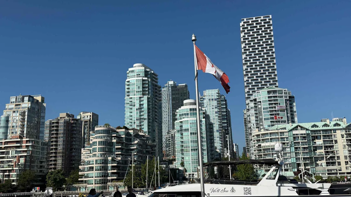 from $50.12
Top rated
from $50.12
Top rated Vancouver: Hop-On Hop-Off City Tour, SMALL GROUP "12 STOPS"
A hop-on hop-off route run in 15-seat vans rather than buses, with 24, 48 and 72 hour passes and 12 to 17 stops depending on the pass. The driver is not a guide and no attraction tickets are included.
Check Availability from $122.28
Top rated
from $122.28
Top rated Vancouver City Tour+Stanley Park+Granville Island+China+Gas
Four hours by car rather than coach, covering Prospect Point, the totem poles, Granville Island, the Steam Clock, Chinatown and English Bay. Every stop is a free public site, so what you pay for is the driving and the commentary.
Check Availability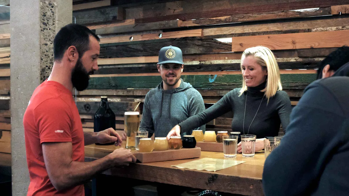 from $64.57
Top rated
from $64.57
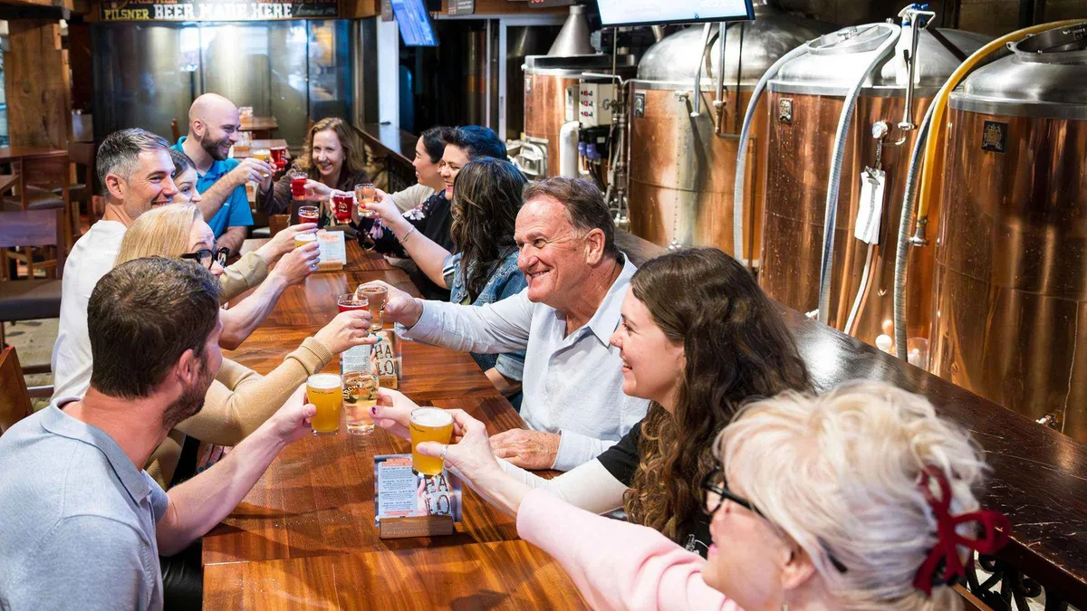
Top rated Vancouver: Craft Beer Culture & Tasting Tour
Three hours in Brewery Creek with 12 tastings across three breweries, led by a Cicerone certified guide and including a cask ale poured the old way. Total walking is about 1 km, and photo ID is checked.
Check Availability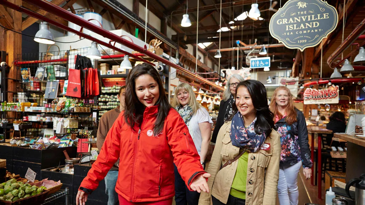 from $118.91
Top rated
from $118.91
Top rated Vancouver: Granville Island Market Tour with Tastings
Two hours behind the stalls at Granville Island Public Market with cured meats, cheeses, breads and sweets from the vendors themselves. The one catch is the policy: tickets are non-refundable and changes need 10 days notice.
Check AvailabilityPrices, ratings and details are the platform's own, checked in Q3 2026; dollar figures are the listed prices — the platform bills in your account's currency.
Where To Go From Here
The pages that turn a district into a day, or a night.
Where to stay
The same map read for hotels rather than walks, with the 18.5% in room tax nobody quotes: where to stay in Vancouver.
Eight areas, comparedGetting around
The whole fare system, the Compass card deposit and why a tapped bank card costs more every trip: getting around Vancouver.
Three zones, two quirksWhere to eat
The Michelin selection and the other citable lists, sorted by which district they land in: where to eat in Vancouver.
12 One Star, 15 Bib GourmandVancouver map
Every sight on the site on one map, which is the fastest way to see how the five geographies fit together: the Vancouver map.
Everything, pinnedVancouver neighbourhoods: questions
What are the best areas in Vancouver for a visitor to walk?
The downtown peninsula first, because it is only about 4 km long and holds five districts you can cross on foot in under an hour. Of those, Gastown repays the most walking: 141 buildings inside a National Historic Site of Canada, mostly built between 1886 and 1914. Then Granville Island and Kitsilano on the west side, which work as one route along the water. The comparison table sets out what each district is for.
How many neighbourhoods does Vancouver have?
The City divides itself into 22 areas and publishes the caveat that "there is some disagreement on all of the names and boundaries of these areas". Its own index runs longer than 22 because it also lists places that are not statistical areas, including Gastown, Chinatown, Coal Harbour, Commercial Drive, Granville Island and the Downtown Eastside. Eleven of them are compared on this page and six have a page of their own. How the city divides explains the disagreement.
Which area of Vancouver should I avoid?
The honest answer is a geography lesson rather than a warning. The Downtown Eastside, east of Carrall Street between Gastown, Chinatown and the port, is a residential area in the middle of a public-health emergency running since April 2016, and it is not a sightseeing district. The police department's 2025 figures show total Criminal Code offences down 3.9% per thousand residents and violent crime down 12.0%, with the Central Business District, not the east side, holding 1,855 of the city's 5,385 theft-from-auto files. The safety page has the rest of the numbers.
Is it worth crossing to the North Shore for a day?
Yes, and it is the cheapest good decision on this page. The SeaBus crosses in 12 minutes on an ordinary transit fare, which is $3.04 (CA$4.20) with a Compass card on a weekday daytime and $2.06 (CA$2.85) after 6:30 pm or at any time at the weekend. Every bus and shuttle to the mountains starts from Lonsdale Quay, and the Shipyards Night Market runs free on Fridays from 15 May to 11 September. The transit table has every connection priced.
What is the difference between the west side and West Vancouver?
They are on opposite sides of the water. The west side is the part of the City of Vancouver over the Burrard and Granville bridges, holding Kitsilano, Point Grey and the UBC campus. West Vancouver is a separate municipality on the North Shore, beyond the Lions Gate Bridge, with Lighthouse Park and Cypress behind it. The West End is a third thing again, the residential wedge on the downtown peninsula next to Stanley Park. The five geographies sort them out.
Which district has the cheapest food?
Chinatown for lunch and Mount Pleasant or Commercial Drive for an evening, though no official body publishes prices by district so this is observation rather than record. What is citable is the tax: restaurant food in British Columbia is exempt from the 7% provincial sales tax and carries only the 5% federal GST, while the alcohol on the same bill is taxed separately. Destination Vancouver, the official tourism body, publishes a tipping range of 12 to 18%. Where to eat has the cited restaurant lists.
The Districts On Film
The City's own introduction to how it divides itself, a geographer's overview of the whole city, and a walk through one west-side district at street level.
Vancouver Newcomers Guide: Neighbourhoods and Getting Involved
The City of Vancouver's own framing of its areas, which is the same 22-area map this page is built on.
Video: City of VancouverVancouver Overview: An Informative Introduction to Vancouver, British Columbia
The peninsula, the bridges and the North Shore explained as geography, which is the part most district lists skip.
Video: City GeekThe Kitsilano Neighbourhood Tour, Vancouver BC
One west-side district at walking pace, useful for judging whether a beach neighbourhood is your kind of morning.
Video: Adam J Bell Real EstateVideos load from YouTube only when you press play.
Reviewed Q3 2026 (July–September 2026); next review Q4 2026. Prices, hours and terms are set by the venue or operator and confirmed at checkout.
We may earn a commission if you book through one of our links, at no extra cost to you. Full affiliate disclosure