 Vancouver Trip Guide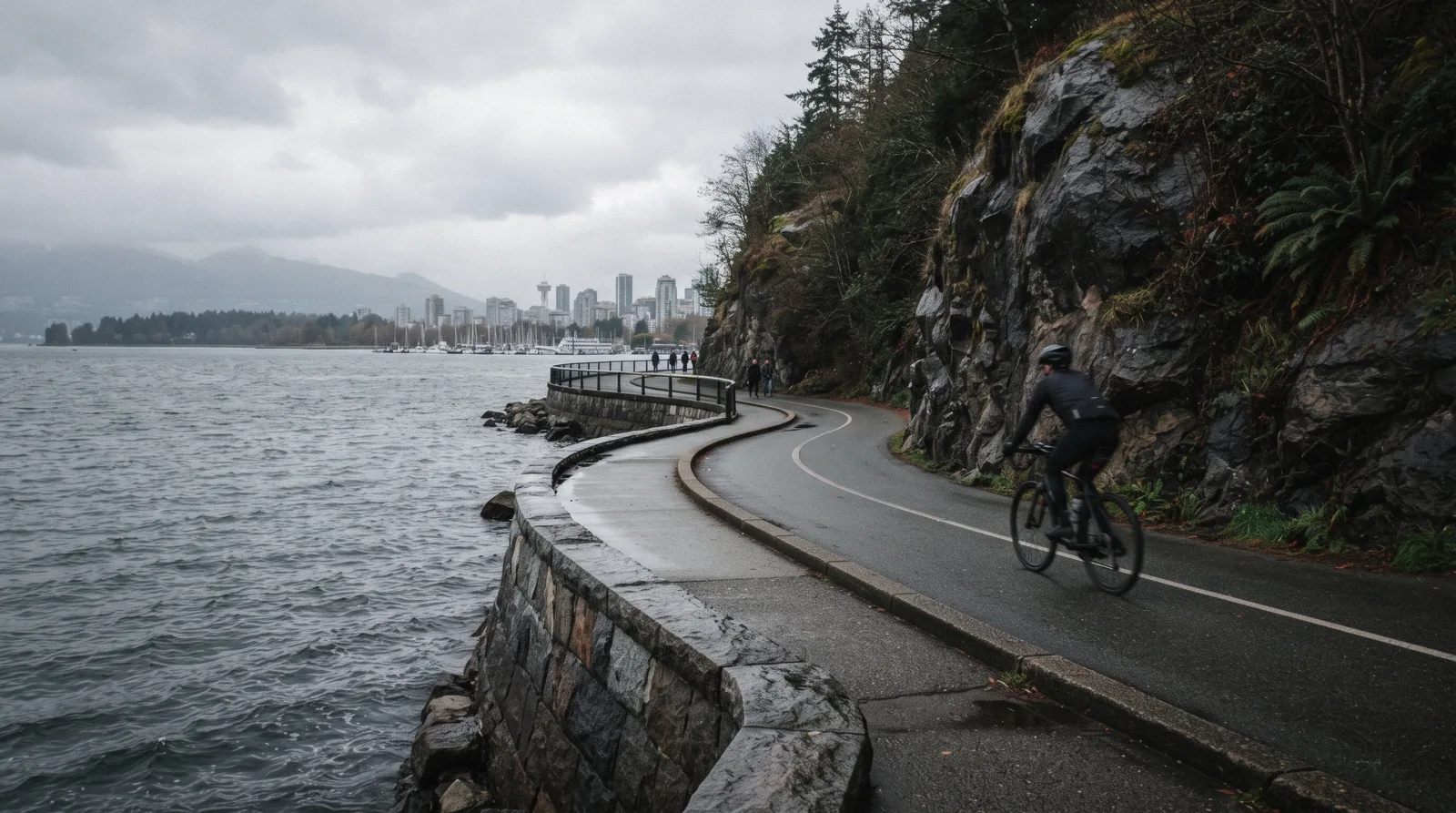
Vancouver Seawall
The Vancouver seawall is a 28 km waterfront path that runs, in the City's own words, uninterrupted from the Vancouver Convention Centre to Spanish Banks Park, and it is the single best free thing to do in the city. This page treats it as a route rather than a view: where it starts, which way to travel, where the walking and cycling lanes separate, how far it is between the landmarks you have heard of, and which sections close. The 9 km section that loops the peninsula has its own page at the park guide, and the beach where most people stop is English Bay.
Quick answer Where it starts, how long it takes, which lane you belong in
The seawall is 28 km long and free. The City describes it as an uninterrupted seaside greenway from the Vancouver Convention Centre to Spanish Banks Park, and it is split into two marked lanes: walkers and joggers nearest the water, cyclists and skaters on the inside path.
Key takeaways
- The famous 9 km loop is only a third of it. That section takes 2 to 3 hours to walk or an hour to cycle, on the City's own figures, and the park page covers its landmarks
- Riding the whole thing in one go is a bike job, not a walk. The three hour e-bike tour covers the peninsula section, and the five hour guided ride takes in False Creek, Granville Island and the city end
- It is not a loop except around the peninsula. From English Bay south the path runs along False Creek and out to Kitsilano, so plan a one way route and a way back
- Nothing closes it on a schedule except winter rock scaling between Prospect Point and Third Beach, about three weeks, dates not published in advance
Key facts
Opening hours
| Open path, no gates, all year | 00:00–23:59 |
|---|---|
| Park section, posted hours | 06:00–22:00 |
Closed None scheduled, but the Park Board closes the section between Prospect Point and Third Beach for about three weeks each winter, and Ferguson Point for a few days, to scale rock. Storm damage closes sections at short notice.
Admission
- Adult
- Free. No admission, no permit, no ticket at any point on the 28 km
- Reduced
- Bike rental from the shops on Denman Street and around Coal Harbour is the usual cost; guided rides are listed on this page
- Free
- Walking, running, cycling, skating and wheeling, every day of the year
Planning it
- Time needed
- The City states the 9 km peninsula portion takes 2 to 3 hours to walk or 1 hour to cycle; the full 28 km is a long day on foot and about 3 hours of riding
- Book ahead
- Optional — walk-up usually fine
- Address
- From the Vancouver Convention Centre, 1055 Canada Place, to Spanish Banks Park, Vancouver, BC
What it costs to travel the seawall, from the City's own page and from the operators' listings on GetYourGuide, read in Q3 2026. Row one is the path itself, which charges nothing at any hour; the rows below buy a bike, a guide and a route someone else has planned.
You never pay to use the seawall, so the only question is whether you want a bike under you and a guide in front.
| Option | Price | Covers | Cancel | Book |
|---|---|---|---|---|
| Walk, run or wheel it yourselfAnyone with an afternoon. The path is public, paved and lit on the downtown sections | Free | All 28 km, any hour, no permit | Nothing to cancel | Official site |
| Small group e-bike tour with pickupRiders who want the full circuit without the headwind on the exposed west side; 5 riders maximum, 16 plus | $64.57 | The whole peninsula seawall plus the inner trails | Free up to 24 hours before | Check Availability |
| Guided city bike tourAnyone who wants the southern half of the greenway, which most visitors never see, with a 45 minute market break | $83.03 | Seawall, English Bay, False Creek, Granville Island, Gastown | Free up to 24 hours before | Check Availability |
| Guided bicycle tour, forest and shoreSlower riders; flat protected bikeways, groups of up to 10, bike and helmet included | $75.70 | About 12 km of park trails and shoreline | Free up to 24 hours before | Check Availability |
| Bike tour from the West EndVisitors staying in the West End who want to start and finish at the beach rather than downtown | $71.82 | West End, seawall, Totem Park, Third Beach, back to the bay | Free up to 24 hours before | Check Availability |
Bike rental without a guide is the cheaper route and the shops cluster on Denman Street and around Coal Harbour, minutes from the path; none publishes a rate card we could quote here, so ask at the counter. Listed tour prices are the operators' own and move with the date.
Guided Rides Along The Seawall
Five rides that use the path rather than describe it, from a three hour e-bike circuit of the peninsula to a five hour ride that crosses False Creek and stops at the public market. Listed prices in US dollars as shown by the operators in Q3 2026.
 from $64.57
Top rated
from $64.57
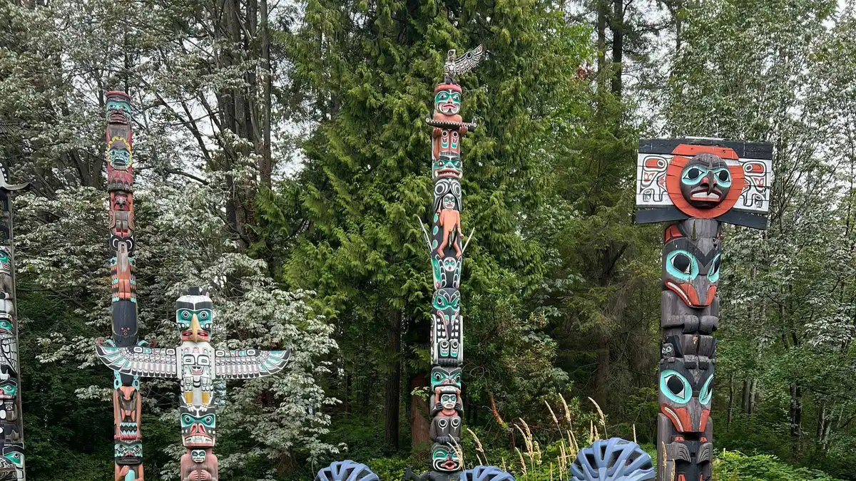
Top rated The Ultimate Stanley Park E-Bike Tour
A five-rider e-bike tour that rides the whole seawall loop plus the interior trails, stopping at the totem poles, Deadman's Island, Siwash Rock and Prospect Point. Pickup anywhere in Vancouver proper is included in the price.
Check Availability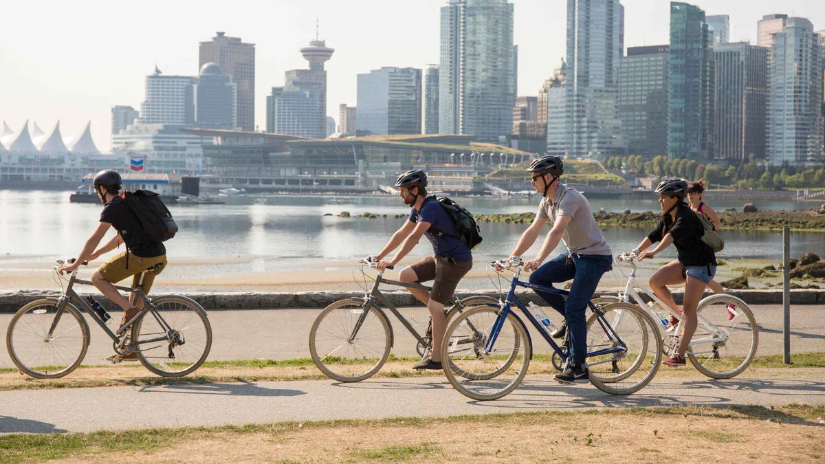 from $83.03
Top rated
from $83.03
Top rated Vancouver: Guided Bike Tour
The five-hour version: Stanley Park, English Bay, a 45 minute break on Granville Island, then False Creek, Chinatown and Gastown. Lunch is bought during the break rather than included, and the pace stays leisurely.
Check Availability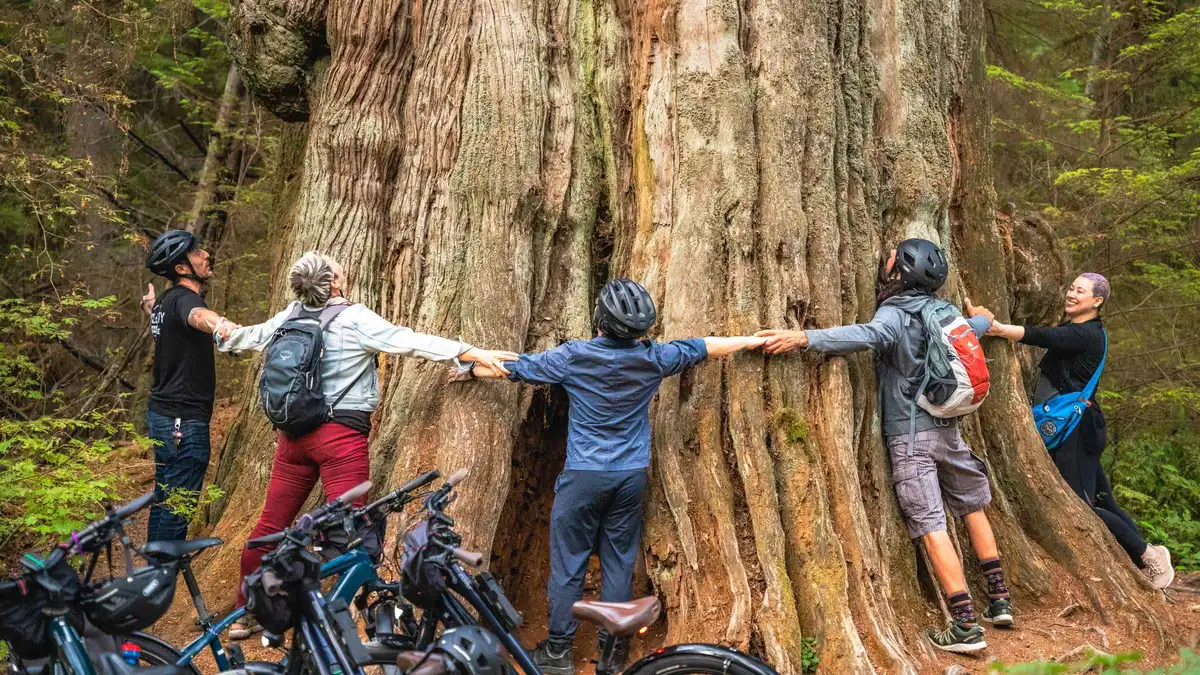 from $75.70
Top rated
from $75.70
Top rated Vancouver: Stanley Park Bicycle Tour
Three hours and 12 flat kilometres through the West End, English Bay and Stanley Park with a guide who stops for the totem poles, Beaver Lake and the forest trails. Bike and helmet are included; e-bike upgrades are in-store only.
Check Availability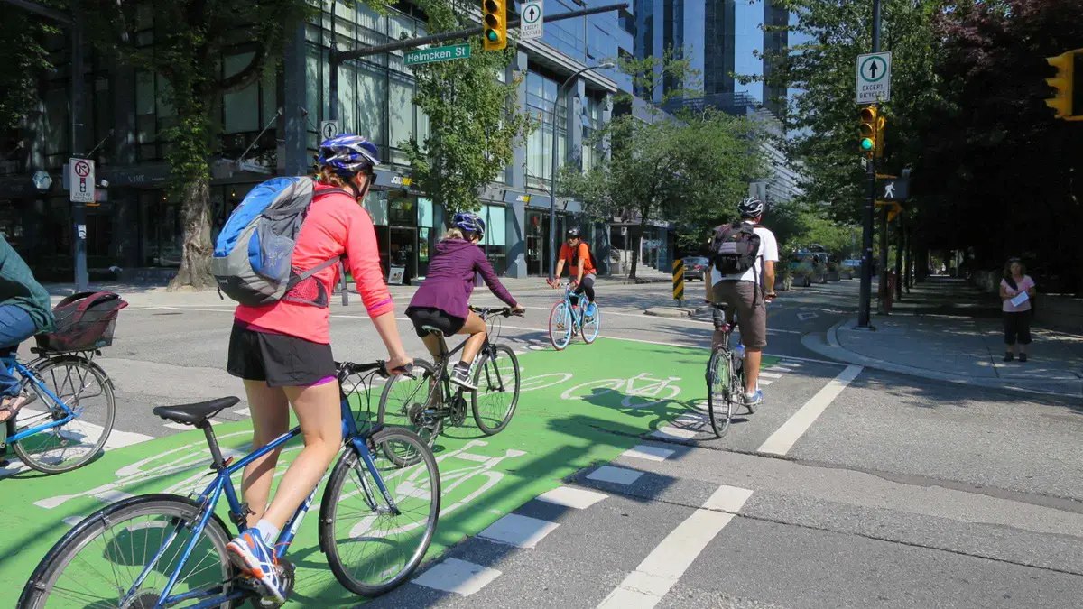 from $71.82
Top rated
from $71.82
Top rated Vancouver: Stanley Park & Downtown Bike Tour
The longest of the city bike routes at 18 km, covering Davie Village, Robson Square, the seawall, Totem Park and Siwash Rock in about three and a half hours. Bike, helmet, water bottle and hotel pickup are included.
Check Availability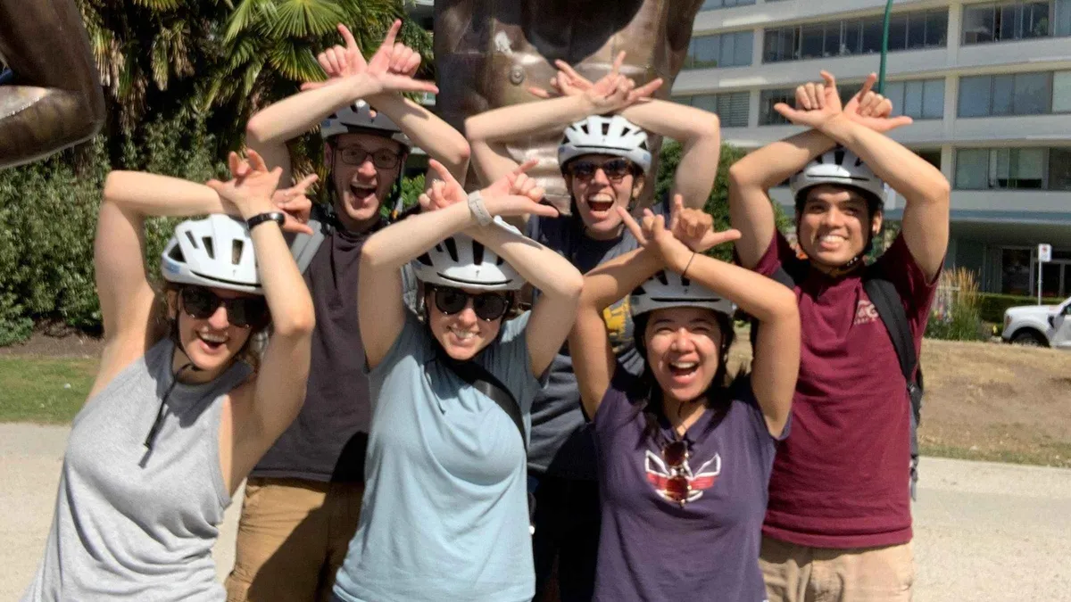 from $69.99
Top rated
from $69.99
Top rated Vancouver: Stanley Park Bike Tour | E-Bike Upgrade Avail.
Three hours from Canada Place through the old-growth stands, the totem poles and the skyline viewpoints, in a group capped at 12. A liability waiver is signed on arrival and the e-bike upgrade is arranged in advance, not on the day.
Check Availability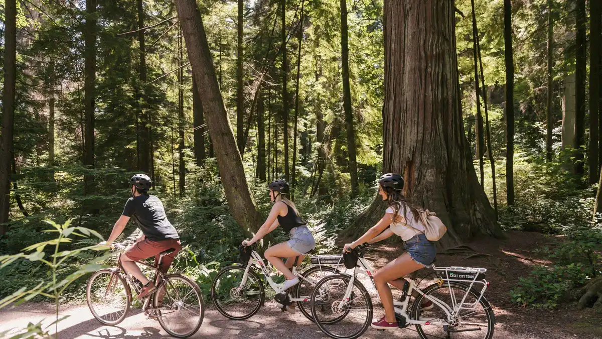 from $104.69
Top rated
from $104.69
Top rated Vancouver: Half-Day City Highlights E-Bike Tour Age 16+
Four hours on an e-bike through Stanley Park to Prospect Point, then Yaletown, Olympic Village, Chinatown and Gastown, almost all of it away from traffic. Riders must be 16 or over and able to handle light exercise.
Check AvailabilityPrices, ratings and details are the platform's own, checked in Q3 2026; dollar figures are the listed prices — the platform bills in your account's currency.
What The Seawall Actually Is
Two numbers get quoted for the same path and both are right, which is why route planning goes wrong.
The City publishes one sentence that settles it: Vancouver has the world's longest uninterrupted waterfront path, and the 28 km seaside greenway is an uninterrupted pathway, including the peninsula seawall, that extends from the Vancouver Convention Centre to Spanish Banks Park. The second number, 9 km, is only the section that circles the forested peninsula at the north end of downtown, and it is the one every photograph is taken on.
So the seawall is not a loop. Around the peninsula it is, and that is where the confusion starts: walk south from the park and the path keeps going, past the beaches, around the inlet at False Creek, over to Kitsilano and out to the university side of the city. Nothing sends you back. Plan a one way route, and plan the return by bus, by the little ferries across False Creek or by riding the other bank.
The wall itself was built to stop the peninsula's foreshore washing away under ship wash from the First Narrows. Work began in 1917 and the final block of the park section was placed on 26 September 1971. The mason most associated with it, James Cunningham, worked on the wall from 1931 until his retirement in 1963, and the Park Board's plaque to him stands at Siwash Rock, which is the only piece of seawall history the City signs on the ground.
The Route, Section By Section, With Distances And Times
The City publishes the total (28 km) and one section time (2 to 3 hours walking, 1 hour cycling for the 9 km around the peninsula) and nothing else. The table below is our own measurement of the route between named landmarks, at 5 km/h walking and 15 km/h riding.
Read it as a chain rather than a sum. The figures will not add to 28 km, because False Creek can be travelled along either bank and because the City counts a continuous greenway rather than a single line you would actually walk. Take the first three rows and you have the classic half day; take all of them and you have a long day on foot or an easy afternoon on a bike.
| Section | Distance | On foot | By bike | What it is like |
|---|---|---|---|---|
| Convention Centre to the park entrance, along Coal Harbour | About 2 km | 25 minutes | 10 minutes | Marina, float planes, wide and busy with commuters; the flattest start |
| Around the peninsula, entrance to English Bay | 9 km, the City's figure | 2 to 3 hours | About 1 hour | The scenic third: totem poles, the bridge, Siwash Rock, three beaches. Details on the park page |
| English Bay to Burrard Bridge, past Sunset Beach | About 1.5 km | 20 minutes | 8 minutes | Sand on one side, the West End on the other; the small ferry dock at Aquatic Centre is here |
| Burrard Bridge to Granville Island, south bank | About 1.5 km | 20 minutes | 8 minutes | Under two bridges and into the market's back door; see Granville Island |
| Granville Island to Science World, head of False Creek | About 3 km | 40 minutes | 15 minutes | Boardwalk, Olympic Village, the quietest stretch on a summer Sunday |
| Vanier Park to Kitsilano Beach and on to Spanish Banks | About 6.5 km | 1 hour 20 minutes | 30 minutes | Beach after beach, ending where the city stops; the Kitsilano page covers the pool |
Distances are measured along the mapped path and rounded to the half kilometre; only the 9 km and the 28 km are the City's own published figures, from its seawall pages read in Q3 2026. Walking times assume you keep moving, which nobody does on the west side of the peninsula at sunset.
Which Lane You Belong In, And Which Way To Go
This is the part that gets shouted about on a summer weekend, and the part where the internet states a rule the City does not publish.
The published rule is the lane split. In the City's wording, the seawall is divided into two clearly marked sections: one for walkers and joggers, closest to the water, and one for cyclists and inline skaters, on the inside path. Follow the painted symbols and the signs, especially on sunny summer days and weekends, when the City itself warns that the area is particularly busy.
The direction rule is different. Everyone will tell you the bike lane around the peninsula runs one way, counter clockwise, and on the ground it does: the markings, the flow and every rental shop point the same way, and Wikipedia records the designation as dating from 1984. But no page on vancouver.ca that we read states it, so we will not print it as an official rule. Treat it as the way the traffic actually moves, which for your purposes has the same effect: ride the peninsula anticlockwise, with the water on your right.
Walkers have no direction rule at all and both directions are normal. Where the path narrows, on the west side under the cliffs and through the pinch points near Prospect Point, walking single file for a moment costs you nothing and prevents the collision the pinch point exists to cause.
On a bike, expect a shared path with pedestrians for parts of the southern half, particularly around False Creek where the seawall doubles as a commuter route. The City posts a 15 km/h limit on shared pathways, and it is a sensible speed to hold anyway.
The Seawall In Six Dates
A path built by hand across most of a century, for a reason that has nothing to do with tourism.
-
1914 to 1916
The first 4,000 feet
The earliest section is built as erosion control, not recreation: wash from ships passing through the First Narrows was eating the foreshore.
-
1917
The main campaign begins
Work starts on the wall around the peninsula and continues, in stops and starts, for decades.
-
1931
James Cunningham starts work
The Park Board's master stonemason takes over the build and gives it 32 years, until his retirement in 1963. He died that September, before the wall was finished.
-
26 September 1971
The final block
The last block of the peninsula section is placed, 54 years after the campaign began.
-
1984
The bike lane is designated one way
The counter clockwise convention that every rental shop repeats dates from here. It is recorded in the Wikipedia article on the seawall) and its sources; the City's own pages publish only the lane split.
-
Today
28 km, Convention Centre to Spanish Banks
The greenway now runs far beyond the original wall, through False Creek and along the southern beaches, and the City calls it the world's longest uninterrupted waterfront path.
Construction dates from the Wikipedia article on the seawall and its cited sources; the length, the endpoints, the lane split and the Cunningham plaque are from the City of Vancouver's own seawall pages, read for this guide in Q3 2026.
When The Seawall Is Shut, And What To Do About It
One closure is annual and predictable in kind but not in date; the rest arrive with the weather.
Every winter the Park Board closes the seawall between Prospect Point and Third Beach for about three weeks, and Ferguson Point for a few days, to scale loose rock off the cliffs above the path. That is the City's own description of the work and its rough duration; the dates for the coming winter are not published in advance, so check before a December or January walk on the west side. The detour is Park Drive and the interior trails, which adds a climb but keeps the circuit.
Storms are the other interruption. The exposed western section takes the weather full on, and high wind or wave overtopping closes it at short notice. If you are on it when the water starts coming over the wall, turn inland rather than pressing on; there is no shelter between Third Beach and Prospect Point.
Neither closure affects the southern half. False Creek, Granville Island and the run out to Kitsilano stay open through the winter, and on a grey February afternoon they are the better half anyway: sheltered, lit and closer to a coffee.
Bikes, Wheels, Water And Toilets
Rental shops sit on Denman Street and around Coal Harbour, a few minutes from the peninsula entrances, and the guided rides on this page include the bike, the helmet and in one case pickup from anywhere in the city. Helmets are required by law in British Columbia and every rental includes one.
The surface is paved and flat for the whole 28 km, which makes this one of the best wheeled routes in any Canadian city; on the peninsula, washrooms are open dawn to dusk and there are concessions at the beaches in season. Water fountains run in the warm months and are shut off over winter, so carry water from November onwards.
For an accessible route, the southern sections around False Creek have the gentlest gradients and the most frequent seating; the wider picture is on the accessibility page. Getting to a start point without a car is easy at both ends, and the transit page explains the fare zones and the Compass card.
Seawall Map: The Endpoints And The Landmarks Between Them
The two published endpoints and the landmarks that mark your progress along the route. Positions come from the Wikidata items in this site's facts pack or from the City's published addresses.
Endpoints as published by the City of Vancouver; landmark positions from Wikidata or the City's addresses, checked in Q3 2026. Tiles OpenStreetMap.
What Is On The Route
Three places the path delivers you to, with our walking times measured along the seawall itself rather than through the streets.
Stanley Park
The 9 km section everyone photographs, free at any hour, with the totem poles and the bridge on it. The park page has the loop order and the parking rates if you drive.
25 min walk from the Convention CentreEnglish Bay Beach
Where the peninsula section ends and most walkers stop for lunch. Sunsets, the Inukshuk and swimming in season on the English Bay page.
5 min from the park's southern exitGranville Island
The public market sits directly on the southern seawall, and the small ferries there cut the return walk to five minutes on the water. Granville Island guide.
About 40 minutes from English Bay along False CreekSeawall Questions
How long does it take to walk the whole seawall?
A long day. The City publishes a time only for the 9 km peninsula section, at 2 to 3 hours walking, so the full 28 km works out at roughly seven to nine hours of walking before stops, and most people split it over two outings or ride it instead. The five hour guided ride covers the southern half that walkers usually miss, and our section by section distances are in the route table above.
Where does the seawall start and end?
The City defines it as running from the Vancouver Convention Centre at 1055 Canada Place to Spanish Banks Park on the west side of the city, uninterrupted for 28 km. In practice most visitors start at the Coal Harbour end because it is a five minute walk from the downtown hotels, and finish at English Bay after the peninsula loop.
Is it really the longest waterfront path in the world?
That is the City's own claim, published on its seawall page: Vancouver has the world's longest uninterrupted waterfront path. No independent body ranks waterfront paths, so treat it as a municipal claim rather than a certified record. What is checkable is the 28 km and the fact that you never leave the water's edge, which is the part that matters when you are on it.
Is the bike lane one way?
On the peninsula it works as a one way anticlockwise route and everybody rides it that way, but no page on vancouver.ca that we read states a direction rule. What the City does publish is the lane split, walkers and joggers nearest the water, cyclists and skaters on the inside path, and a 15 km/h limit on shared paths. Ride with the water on your right and you will be going the way the traffic goes; the guided rides simply take that route by default.
Can you cycle the seawall with children?
Yes on the southern sections, which are wide, flat and separated from traffic, and yes on the peninsula outside peak summer weekends, when the shared pinch points get tight. Helmets are required by law in British Columbia and come with every rental. For a slower guided option, the three hour bicycle tour rides at a relaxed pace on protected bikeways, and the family page has the rest of the day.
Is any part of the seawall closed in winter?
One part, annually. The Park Board closes the stretch between Prospect Point and Third Beach for about three weeks each winter, plus a few days at Ferguson Point, to scale loose rock from the cliffs; the dates are not published in advance. Storms close the exposed western section at short notice. Everything from English Bay south stays open all winter and is the better half in bad weather.
Where The Seawall Fits In A Vancouver Trip
Treat it as the spine of the trip rather than an item on it. Almost everything a first visit wants sits within a few metres of this path: the forested peninsula at one end, the beaches in the middle, the public market and the Olympic Village around False Creek, the museums at Vanier Park.
The efficient version is a morning on the northern half and an afternoon crossing False Creek by ferry, which turns a seven hour walk into two easy ones. If you have a single day, ride it: the five hour guided tour covers ground you would need two days to walk, and the one day itinerary fits the rest around it. Where this sits in a full itinerary is set out on the rest of this Vancouver guide.
The Seawall On Film: Route, Traffic And Where The Lanes Split
Three rides that show the path as it actually is, including the sections most visitors never reach and the summer crowding on the shared stretches.
Vancouver 45 Mile Bike Tour: The Seawall End to End
The whole greenway ridden in one go, useful for judging the distances in the table above.
Video: Prowalk ToursVancouver Seawall by Bike: Riding Tips, Route and What to See
A short briefing on the route and the etiquette before you rent a bike.
Video: Alexander CollegeI Rode the Longest Waterfront Path in the World
An urbanist's ride along the seawall, on why the path exists in this form at all.
Video: City BeautifulVideos load from YouTube only when you press play.
Reviewed Q3 2026 (July–September 2026); next review Q4 2026. Prices, hours and terms are set by the venue or operator and confirmed at checkout.
We may earn a commission if you book through one of our links, at no extra cost to you. Full affiliate disclosure